Introduction GIS Techniques in Monitoring & Evaluation (Basic/Standard) is no longer just about maps or simple visualization. It’s a core...
Introduction
GIS Techniques in Monitoring & Evaluation (Basic/Standard) is no longer just about maps or simple visualization. It’s a core capacity-building course that gives participants practical geospatial literacy for monitoring, performance tracking, data visualization, and evidence-based decisions across development, environment, health, infrastructure, humanitarian, and governance sectors.
In 2026, basic GIS M&E goes beyond theory to teach spatial thinking, simple geospatial data collection, and hands-on use of tools like QGIS or ArcGIS, plus introductory interpretation of spatial patterns for project assessment. Trainees learn how geographic data improves monitoring accuracy, reporting transparency, and implementation at community and institutional levels.
Because rapid urbanization, climate change, population growth, and service challenges make location data essential, this basic training bridges non-technical staff to spatial tools. It frames GIS as an essential digital skill that enhances field reporting, supports routine monitoring and simple decision-making, and prepares professionals for advanced geospatial work.
Learning Objective:
At the end of this course, participants will be able to:
- Understand the fundamental concepts of Geographic Information Systems (GIS) and their role in Monitoring & Evaluation processes.
- Identify and apply basic spatial data types, sources, and data-collection methods for M&E activities.
- Demonstrate the ability to create, read, and interpret basic thematic maps for project monitoring and reporting.
- Apply simple GIS tools and techniques (such as mapping, buffering, and geocoding) to support project tracking and evaluation.
- Develop basic competence in using GIS software (e.g., QGIS or ArcGIS) for data visualization and decision-making support in development projects.
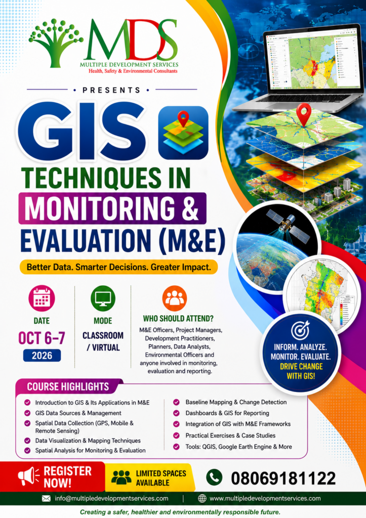
Key Information
Date: 7 - 8 October, 2026
Registrations Deadline: 2 October, 2026
Venue: 33, Akingbola Street Oregun Ikeja. Lagos
Course Fee: #300,000 for Onsite – Training & #200,000 for Online
Target Audience
Multidisciplinary professionals who benefit from basic GIS for M&E include monitoring & evaluation officers, GIS analysts and geospatial specialists, environmental managers and consultants, project managers and program coordinators, urban and regional planners, development practitioners and NGO staff, disaster risk management and humanitarian officers, public health and epidemiology professionals, agricultural and natural resource managers, researchers, academics, and students, government and regulatory agency staff, data analysts and decision-support specialists, infrastructure and utility managers, climate change and sustainability practitioners, and donor agencies and development partners.
Ready?
Enhance your expertise and advance your career with this training program. Register today to secure your place and take the next step towards professional growth.
Register Now